Return to Flotilla 39-6's Home Page.
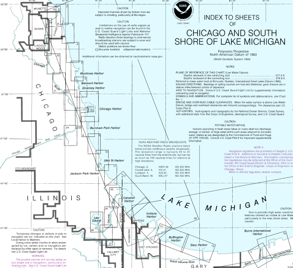
Navigation Charts of the United States and US Territories (PDF)
U.S. Chart No. 1 (Symbols, Abbreviations and Terms used on Paper and Electronic Navigational Charts)
US Coast Pilot 6 (covers the Great Lakes system - including Lakes Ontario, Erie, Huron, Michigan, and Superior, their connecting waters, and the St. Lawrence River)
Print on Demand (charts, Coast Pilot, US Chart Number 1, distributors)
US Coast Guard Navigation Center
General Information on Maritime Global Positioning Systems (GPS)
U.S. Aids to Navigation System - What You Need to Know About Markers on the Water
Ninth District Local Notice to Mariners (LNMS)
USCG Float Plan Resources - Create your float plan here
