
Return to Flotilla 2-2's Home Page.
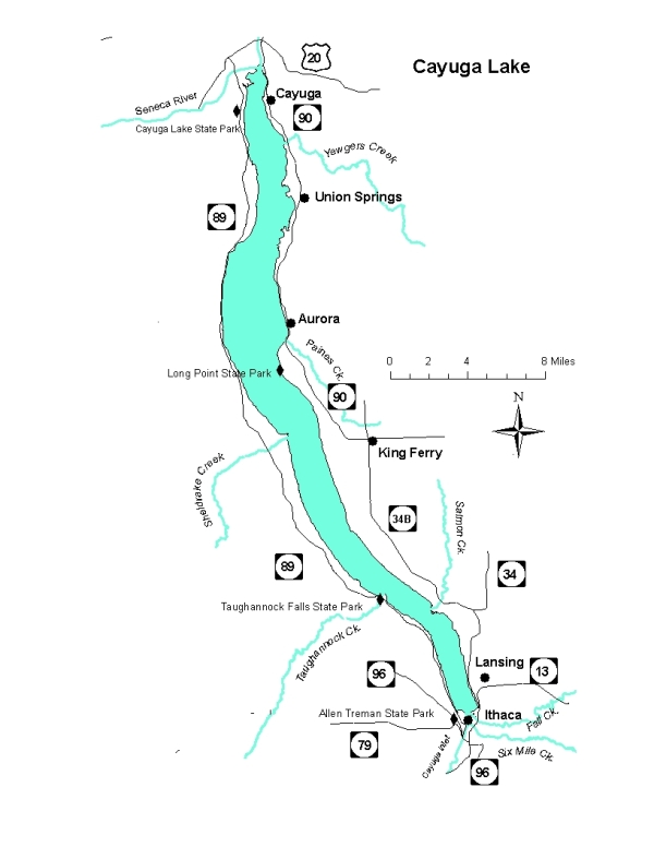
Cayuga Lake Map
Cayuga Lake is long and narrow, with primarily a north-south orientation. It's approximately 38 miles long and the maximum width is 3.5 miles. The maximum depth is 435 feet.
The map below is courtesy of the New York State Department of Environmental Conservation.
Cayuga Lake Depth Map
You can download a Cayuga Lake depth map from the NYS DEC.
Cayuga Lake Area Weather
There are numerous sources of weather forecasts for the region, from National Weather Service to several commercial sources. Some are point specific (i.e., Ithaca, Aurora, Union Springs, Cayuga), whereas others are area discussions. We do not endorse any specific one, nor the advertisements that appear on some of their websites. If you have another source you want to see added to the list, email it to us at: [email protected]
Point Specific Forecasts for Ithaca:
Note you can obtain the weather for other locations on/near the lakes from these websites as well.
Regional Forecast: Finger Lakes Weather