
NOAA maps & Nav Resources
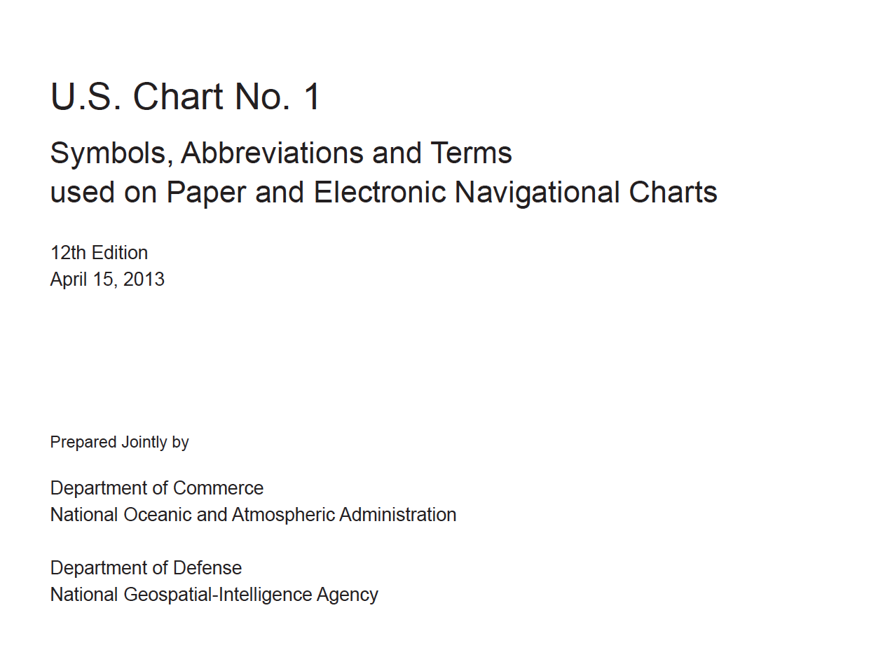 | U.S. Chart No. 1: Symbols, Abbreviations and Terms used on Paper and Electronic Navigational Charts provides descriptions and depictions of three nautical chart symbology sets. "INT1" symbols specified by the International Hydrographic Organization (IHO). U.S. symbols used on nautical charts published by the National Oceanic and Atmospheric Administration (NOAA) and the National Geospatial-Intelligence Agency (NGA), when they differ from INT1 symbols.ECDIS symbols used to display Electronic Navigational Chart (ENC) data on Electronic Chart Display and Information Systems (ECDIS) as specified by the IHO. Edition 12, dated April 2013, supersedes all previous editions of U.S. Chart No. 1. |
The American Practical Navigator
 |
This is the acknowledged bible of marine navigation worldwide. No other publication offers such a detailed look into the various types of navigation used today. From deduced (dead) reckoning, coastal piloting, electronic & satellite navigation, to celestial navigation. Also included in this book, is detailed information on the subjects of most concern to sailors who venture offshore. For those who remember Volume II of Bowditch, it has been now been incorporated into the Volume I to provide the mariner with a single reference book. (This is a large download) |
US Coastal Pilots - Pacific
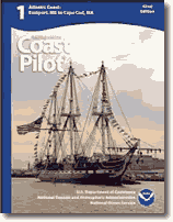 |
The United States Coast Pilot, published by the National Oceanic and Atmospheric Administration (NOAA), in conjunction with the Federal Aviation Administration (FAA), is a series of nautical volumes that cover a wide variety of information important to navigators of U.S. coastal and intracoastal waters, and the waters of the Great Lakes. Most Coast Pilot information cannot be shown graphically on the standard nautical chart, and is not readily available elsewhere. The topics in the Coast Pilot include, but are not limited to, channel descriptions, anchorages, bridge and cable clearances, currents, tide and water levels, prominent features, pilotage, towage, weather, ice conditions, wharf descriptions, dangers, routes, traffic separation schemes, small-craft facilities, and Federal regulations applicable to navigation. This download is for the Pacific Coast - Hawaii - Pacific Islands |
Marine Weather Service Charts
Marine Weather Service Chart’s
Marine Service Charts for the West Coast published by NOAA and covering U.S. waters from Mexico to the Canadian Border.
There are 3 charts total and are broken down by geographical region. These charts provide a lot of marine weather related information including frequencies, schedules and locations of stations disseminating NWS products. They also contain additional weather information of interest to the mariner. The front side of the charts shows the map and the 2nd page shows text that accompanies the chart.
The PDF format is helpful if you need to zoom in on a specific area of the chart. Otherwise, if you print them, legal size paper is required to get the whole chart on one sheet.
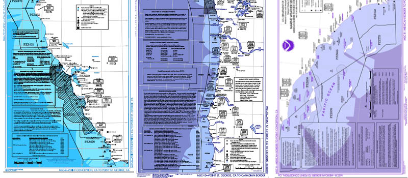 Pt Conception to St George,CA St George to Canadian Border Mex Border to Pt Conception
Navigation - Rules of the Road
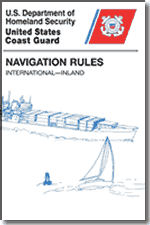 |
The International Rules are applicable on waters outside of established navigational lines of demarcation. The lines are called COLREGS (Collision Regulations) Demarcation Lines and delineate those waters upon which mariners shall comply with the Inland and International Rules. COLREGS Demarcation Lines are contained in this book. The Inland Rules in this book replace the old Inland Rules, Western Rivers Rules, Great Lakes Rules, their respective pilot rules and interpretive rules, and parts of the Motorboat Act of 1940. Many of the old navigation rules were originally enacted in the last century. |
Port World Index
 |
The World Port Index (Pub. 150) contains the location, characteristics, known facilities, and available services of major ports, shipping facilities and oil terminals throughout the world (approximately 64,000 entries). The data in this publication is mostly tabular and contains listings of available services for each port. Of particular interest are the applicable volume of Sailing Directions and the number of the harbor chart. New editions are published bi-annually. The publication is arranged geographically, with an alphabetical index. This book is corrected using Notices to Mariners |
Distances Between Ports
 |
World Port Distances (Pub. 151) is a publication that lists the distances between major ports. Reciprocal distances between two ports may differ due to different routes chosen because of currents and climatic conditions. To reduce the number of listings needed, junction points along major routes are used to consolidate routes converging from different directions. The positions listed for ports are central positions that most represent each port. The distances are between positions shown for each port and are generally over routes that afford the safest passage. Most of the distances represent the shortest navigable routes, but in some cases, longer routes, that take advantage of favorable currents, avoidance of ice or other dangers to navigation, or to follow required separation schemes have been used. This publication is corrected using Notices to Mariners. |
List of Lights/Radio Aids/Fog Signals
 |
Light lists provide the captain and navigator information on lighted and unlighted buoys, radiobeacons, sound signals, daybeacons, radio direction finder calibration stations, and racons. Included are both U.S. Light Lists and Foreign List of Lights depicting these aids to navigation for both U.S. and foreign waters used for general navigation. This combined 2013 volume contains aids to navigation in geographic order. These books are corrected using Notices to Mariners. |
Radio Navigation Aids
 |
Radio Navigation Aids (Publication 117) is published by the National Geospatial-Intelligence Agency, provides a detailed list of selected worldwide radio stations that provide services to the mariner. The publication is divided into chapters according to the nature of the service provided by the radio stations. The services include RDF and Radar Stations; stations broadcasting navigational warnings, time signals or medical advice; communication traffic for distress, emergency and safety including GMDSS; and long range navigational aids. It also contains chapters describing procedures of the AMVER System, and the interim emergency procedures and communication instructions to be followed by U.S. merchant vessels in times of crisis. This book is updated using Notices to Mariners. |
Pilot Chart - North Pacific Atlas
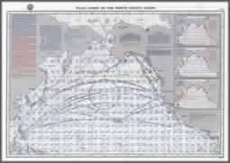 | Pilot Charts come in (5) volumes covering the major oceans of the world. This download is the North Pacific Atlas. These charts are not intended to be used alone but in conjunction with other navigational aids. These charts present, in graphic form, averages obtained from data gathered over many years in meteorology and oceanography to aid the navigator in selecting the quickest and safest routes. Included are explanations of how to use each type of information depicted on these charts. |
International Code of Signals
 |
The purpose of the International Code of Signals, Publication #102, is to provide ways and means of communicating either visually, by sound, or by radio in situations related essentially to safety of navigation and persons, especially when language difficulties arise. In the preparation of the Code, account was taken of the fact that wide application of radiotelephony and radiotelegraphy can provide simple and effective means of communication in plain language whenever language difficulties are not an issue. |