
Return to Flotilla 11-6's Home Page.
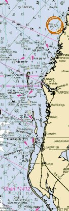
11-6 - From the line at 28-17.2 (above) south to approx. 28-13.0 on a line extending at an angle 270 degrees into the Gulf. (Physically, this line divides Anclote Key and the shoaling area just to the North. As a result, the area around the shoaling "island" will be shared jointly by 11-06 and 11-09 so that 11-09 vessels can pass around Anclote Key on the North side). This area includes the "Cotee" River and Gulf Harbors.
Installed Plugin Version: Loading...