Return to Flotilla 8-4's Home Page.

Waterways In America
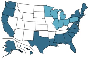
According to the US Census (which compiles geographical data from multiple government agencies), the general coastline of the entire US is 12,383 miles, while the shoreline is 88,633 miles. But the official shoreline estimate from the National Oceanic and Atmospheric Administration is 95,471 miles.
The states with the Longest Coastline
- Alaska 6,640 Miles
- Florida 1,350 Miles
- California 840 Miles
- Hawaii 750 Miles
- Louisiana 397 Miles
- Texas 367 Miles
- North Carolina 301 Miles
- Oregon 296 Miles
- Maine 228 Miles
- Massachusetts 192 Miles
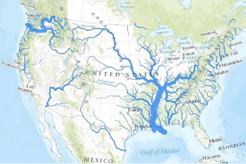
 Internal Waterways (Rivers)
In addition to the coast line, there are internal waterways and lakes that support commerce and recreational boating.
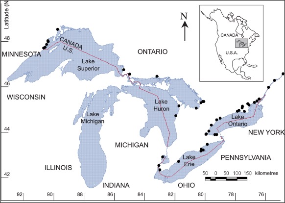
Lakes
- Lake Superior 31,700 s
 q mi
q mi - Lake Huron 23,000 sq mi
- Lake Michigan 22,300 sq mi
- Lake Erie 9,910 sq mi
- Lake Ontario New York 7,340 sq mi
- Great Salt Lake Utah 2,117 sq mi
- Lake of the Woods Minnesota 1,679 sq mi
- Iliamna Lake Alaska 1,014 sq mi
- Lake Oahe N&S Dakota 685 sq mi
- Lake Okeechobee Florida 662 sq mi
The Auxiliary Role in Protecting these Waterways
Where there are significant bodies of water you will likely find a USCG Auxiliary Flotilla. The role of the Auxiliary is to support / augment the Coast Guard in overseeing these waterways and ensuring recreational boating. Each Flotilla is responsible for the Area of Responsibility close to where they live. Their mission is to practice the Auxiliary's best practices to supporting the businesses and people of that AOR. The training ensures auxilarists through the country utilize the same language and handle the duties in the same manner.
The Auxiliary functions independently as well as being in support of the Coast Guard.